Common species in Maine
Maine follows the state health led source pattern. The species below are drawn from the state-authority sources listed in the sidebar Data Row.
- Woodchuck/groundhog tick (Ixodes cookei — Powassan vector context)
- Brown dog tick (dog/kennel context)
- Lone star tick (continued northward expansion; ME at the leading northern edge of U.S. lone star range)
- Asian longhorned tick (DACF + Maine CDC watch context)
When ticks are most active
Broad caution April through October, with adult blacklegged tick activity extending later into the fall and resuming earlier in spring than further south. Blacklegged nymphs peak May-July. Maine has consistently among the highest U.S. per-capita Lyme incidence rates and a notable Powassan virus case load given its small population.
Where you're most likely to encounter ticks
Acadia National Park + Mount Desert Island, Baxter State Park + the 100-Mile Wilderness (AT), Camden Hills, midcoast + Down East fishing/cabin properties, southern Maine suburban edges (York/Cumberland counties — highest-incidence), interior lakes + Western Mountains, hunting + woods camps statewide, dog walking in any wooded edge.
Disease context
Each disease named below carries an evidence tag per the Data Row policy. Pills indicate the strength of state-specific evidence, not the severity of the disease. Symptoms should always be routed to a clinician; this is orientation, not diagnosis.
- Lyme diseasestate surveillance confirmed
Maine consistently reports among the highest U.S. per-capita Lyme incidence rates; Maine CDC publishes detailed surveillance
- Anaplasmosisstate surveillance confirmed
- Babesiosisstate surveillance confirmed
- Powassan virus diseasestate surveillance confirmed
Maine reports notable Powassan case counts given its population size; Maine CDC actively surveils
- Ehrlichiosisstate surveillance confirmed
- Hard tick relapsing feverstate surveillance confirmed
- Alpha-gal syndromeregional pattern
Lone star expansion makes Maine the northern edge of the U.S. AGS watch zone
- Rocky Mountain spotted fevernon diagnostic mention only
If you find a tick — what to do
Map resolution notes
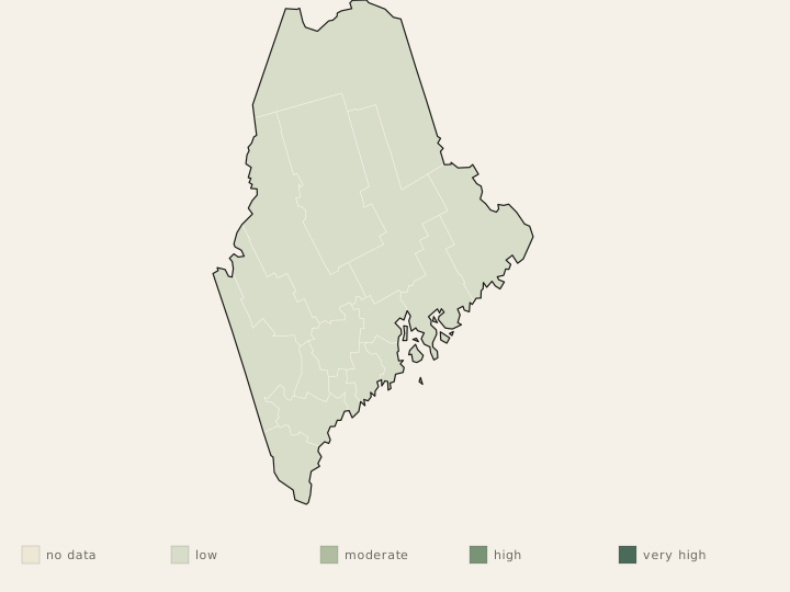
mixed resolution.Maine CDC publishes county-level Lyme + tickborne disease data — that data is unusually granular for a state of ME's population. UMaine Tick Lab pathogen-prevalence data adds resolution. Southern ME counties (York, Cumberland, Lincoln) consistently lead per-capita rates. CDC maps support national comparison.
State sources
- Primary species source
- Maine Center for Disease Control and Prevention (Maine CDC, part of DHHS) Tickborne Diseases hub; University of Maine Cooperative Extension Tick Lab — fee-based tick identification + pathogen-testing program available to ME residents.
- Primary health source
- Maine CDC Tickborne Diseases hub + Maine CDC reportable disease surveillance + clinician guidance; CDC pages and maps for national guardrails.
- Primary extension source
- University of Maine Cooperative Extension publications on ME tick species, life cycles, and yard/property tick management; UMaine Tick Lab pathogen-prevalence data.
- Surveillance
- Maine CDC county-level Lyme + tickborne disease surveillance (ME publishes unusually detailed surveillance for its population size); Maine Department of Agriculture, Conservation and Forestry (DACF) animal-health + Asian longhorned tick monitoring; UMaine Tick Lab for species + pathogen prevalence; CDC for national comparison.