Common species in Ohio
Ohio follows the state health led source pattern. The species below are drawn from the state-authority sources listed in the sidebar Data Row.
- Brown dog tick (dog/kennel context)
- Gulf Coast tick (limited; documented Ohio surveillance reports)
- Asian longhorned tick (ODA + Ohio State surveillance — established in multiple OH counties since 2020s)
- Blacklegged tick (Ohio is a continued expansion frontier; eastern + southeastern counties leading)
- Lone star tick (northward expansion documented)
When ticks are most active
Broad caution April through October. American dog tick peaks spring-summer; blacklegged tick nymphs peak May-July (eastern + southeastern Ohio leads); lone star tick activity May-August expanding northward. Ohio is genuinely a multi-tick frontier — populations vary sharply by county.
Where you're most likely to encounter ticks
Hocking Hills State Park hiking, Cuyahoga Valley National Park, Mohican State Park + Mohican-Memorial State Forest, Wayne National Forest (southeast Ohio Lyme corridor), Lake Erie shore trails, Columbus + Cleveland + Cincinnati suburban edges, Amish Country trails, hunting properties statewide, dog walking in any wooded or tall-grass edge.
Disease context
Each disease named below carries an evidence tag per the Data Row policy. Pills indicate the strength of state-specific evidence, not the severity of the disease. Symptoms should always be routed to a clinician; this is orientation, not diagnosis.
- Lyme diseasestate surveillance confirmed
ODH publishes Lyme surveillance; eastern + southeastern Ohio counties leading. Ohio is a Lyme-expansion frontier — cases growing year over year
- Rocky Mountain spotted feverstate surveillance confirmed
- Ehrlichiosisstate surveillance confirmed
- Anaplasmosisstate surveillance confirmed
- Powassan virus diseasestate surveillance confirmed
Rare but documented in Ohio surveillance
- Alpha-gal syndromeregional pattern
Lone star expansion + Ohio in the watch zone
- Babesiosisnon diagnostic mention only
- STARInon diagnostic mention only
If you find a tick — what to do
Map resolution notes
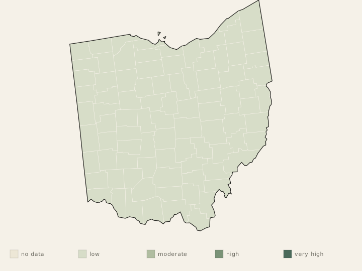
mixed resolution.ODH publishes county-level Lyme + tickborne disease data. Ohio is an active expansion zone — county-resolution data is genuinely useful here because risk varies sharply between eastern (high) and western (low) Ohio. CDC maps support national comparison.
State sources
- Primary species source
- Ohio Department of Health (ODH) Zoonotic Disease Program + Tick-Borne Disease hub; Ohio State University Extension entomology publications and the Ohio State Buckeye Tick Test Lab.
- Primary health source
- ODH Zoonotic Disease Program tickborne disease surveillance + reportable disease summaries; CDC pages and maps for national guardrails.
- Primary extension source
- Ohio State University Extension (Ohio State Extension Service) publications on OH tick species, yard/property tick management, and lone star + blacklegged tick expansion.
- Surveillance
- ODH county-level Lyme + tickborne disease surveillance; Ohio Department of Agriculture (ODA) animal-health + Asian longhorned tick monitoring; Ohio State Buckeye Tick Test Lab for species + pathogen prevalence data; CDC for national comparison.